
Project information
The Sky Dike project focuses on developing an innovative solution for dike inspection using drones, sensors, and artificial intelligence. The aim is to monitor the quality of dikes faster, more safely, and more efficiently. By using RGB, multispectral, and thermal images, collected via pre-programmed drone flights, the condition of the grass cover and the topography of flood defences are mapped. These images are processed into data maps that are analysed by AI algorithms for anomalies such as subsidences, cracks, or reduced vegetation quality. This allows anomalies to be detected early and addressed precisely, contributing to a future-proof and safe region.


What has been realised?
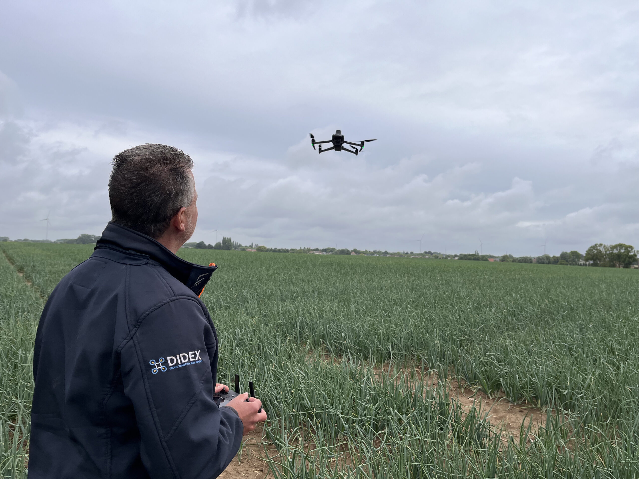
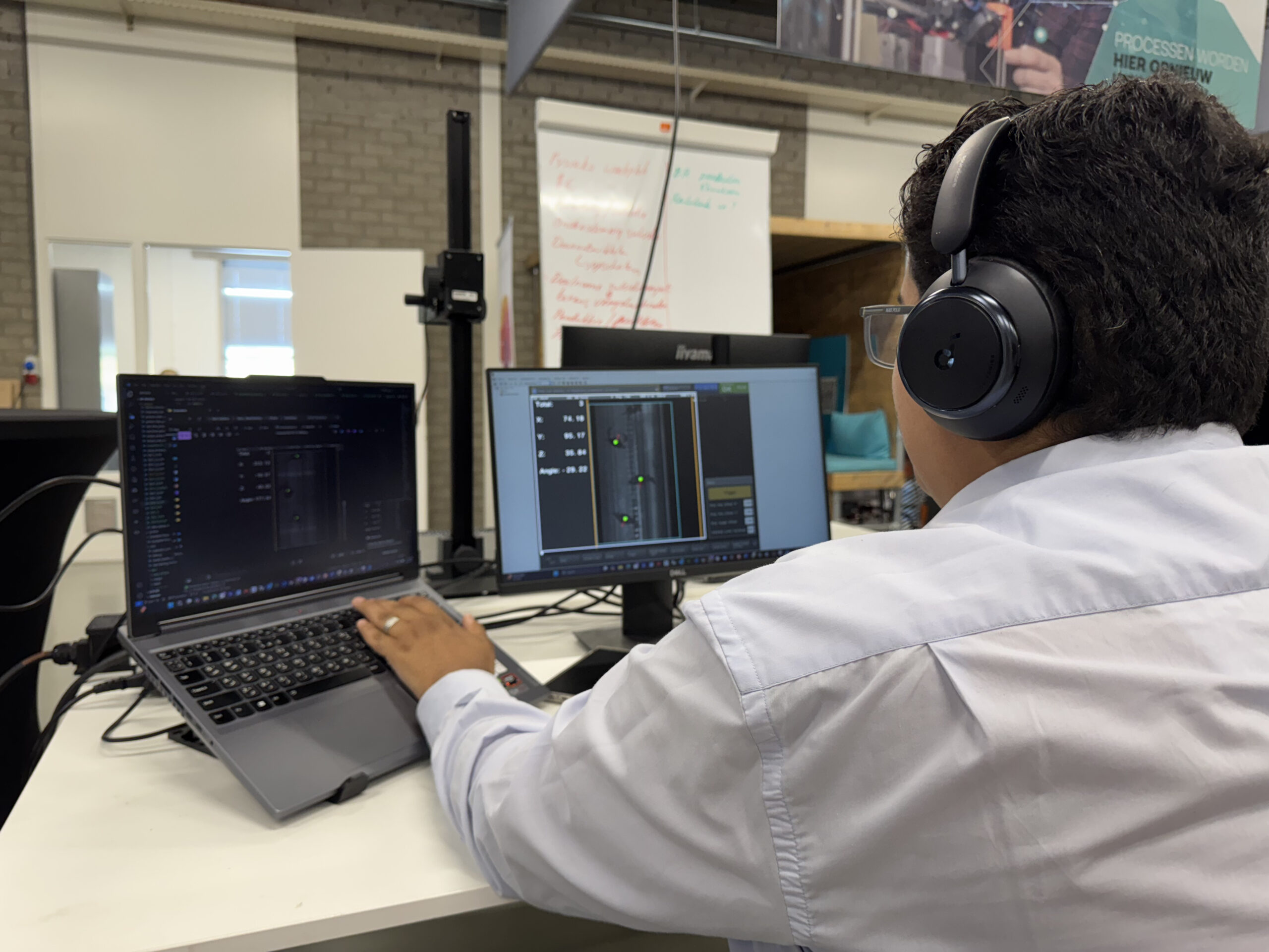
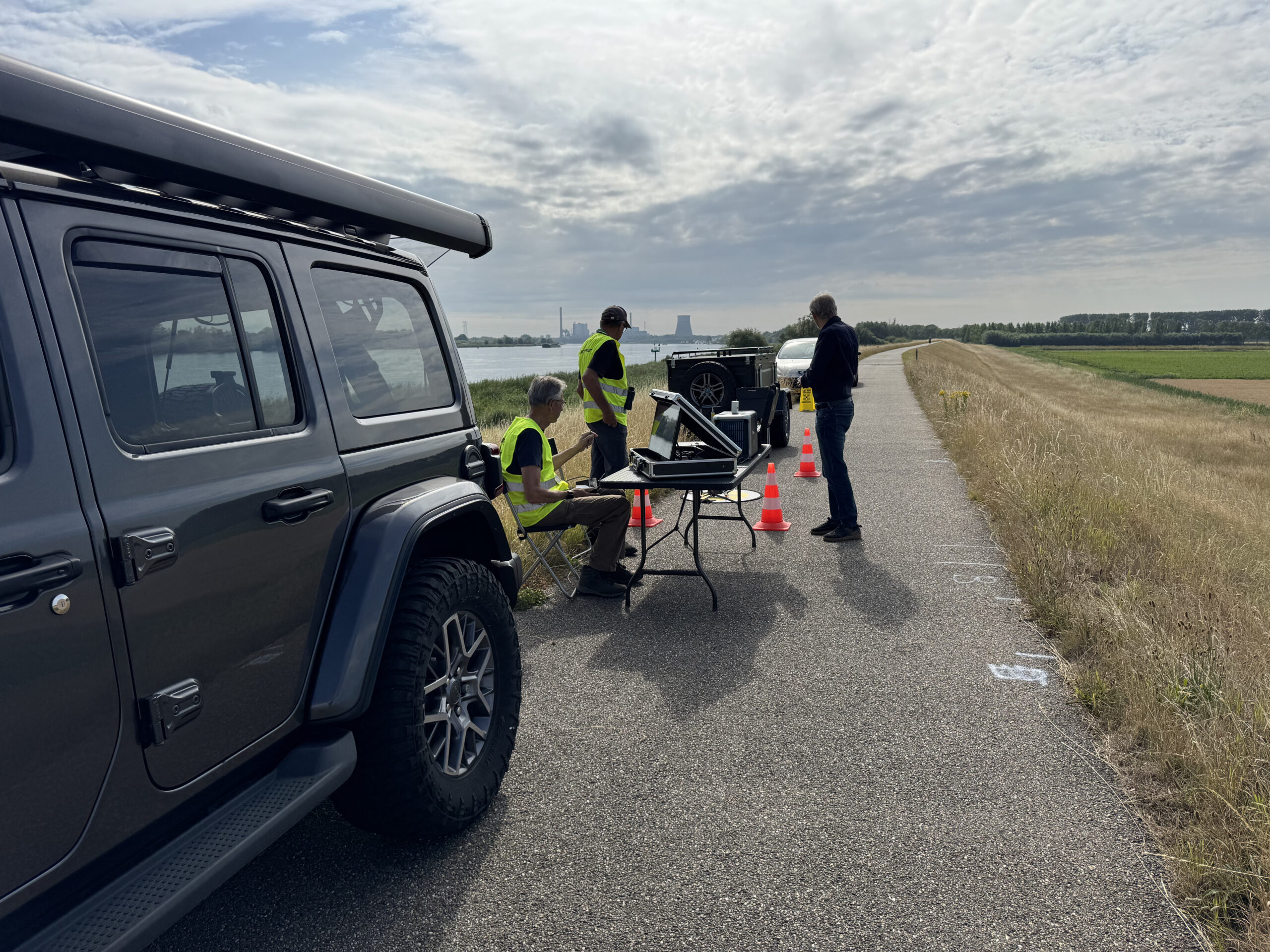
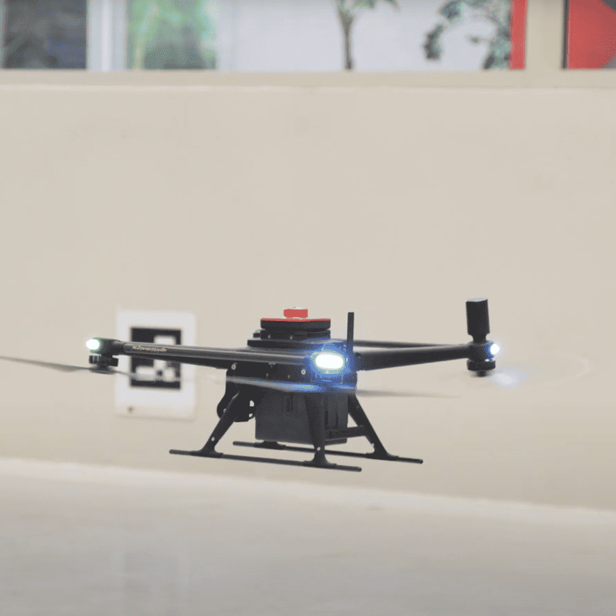
Within the project, a demonstrator has been developed where various technologies converge. AI models have been trained based on criteria from the water board to assess grass quality and topographical changes. The first test flights have been conducted at the Future Dike location of the Brabantse Delta Water Board. The collected data is used for the creation of Digital Terrain Models (DTM) and for predicting maintenance needs through predictive maintenance. The ambition is to carry out all regular dike inspections entirely by drones within three years, without the need for specialist certification for the inspectors.
Project partners
The project is a collaboration between strong regional partners. Brabantse Delta Water Board is the problem owner and provides expertise in dike inspection, data formats, and validation. W2R Drone Projects is responsible for the drone operations, data collection, and setting up the data model. Avans University of Applied Sciences is developing the AI algorithms and providing students and researchers for data analysis and interpretation. Breda Robotics is coordinating the project from the New Technology innovation programme and ensuring the connection between technology and societal challenges.